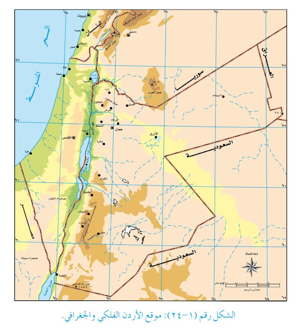
So I looked at the Jordanian geography textbooks, and saw plenty of maps (not all of them) that erased Israel, like this one:
From left to right, the first one is captioned "1946."
The second one shows the 1947 UN partition plan that was never accepted by anyone, and the caption is "1949-1967."
The third shows the Green Line created in 1949, and is captioned "2008."
The key shows green as "Arab lands" and the white as "occupied lands."
According to this textbook, all of Israel is "occupied," and somehow in 1967 Israel occupied the lands it gained in 1948. (As far as I can tell, Israel isn't mentioned.)
If Jordan is going to complain about Smotrich's map, they should explain maps like these.


